

CAPABILITIES
Field Data. Captured Right the First Time.
Zenith Surveying operates as a mobile field measurement lab, delivering high-precision spatial data directly on site to support construction, industrial, and infrastructure projects.
We bring equipment, workflow, and execution together — so your team can move forward without delays, rework, or uncertainty.
OUR APPROACH
MOBILE. PRECISE. READY TO WORK.
1.
Mobilize
We arrive on site with equipment, control strategy, and workflow ready.
2.
Capture
Data is collected efficiently using integrated systems in real field conditions.
3.
Deliver
Clean, usable outputs — ready for design, construction, or reporting.
FIELD CAPABILITIES
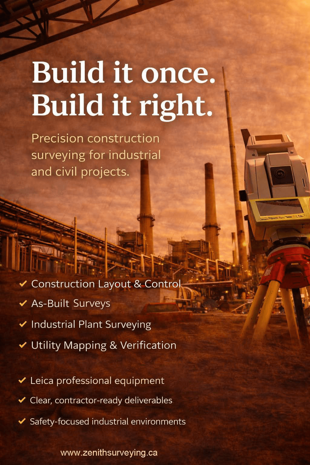
Construction Surveying
Layout, control, and verification to support construction from start to finish.
- Layout & staking
- Control establishment
- Grading and elevation verification
- As-built data collection
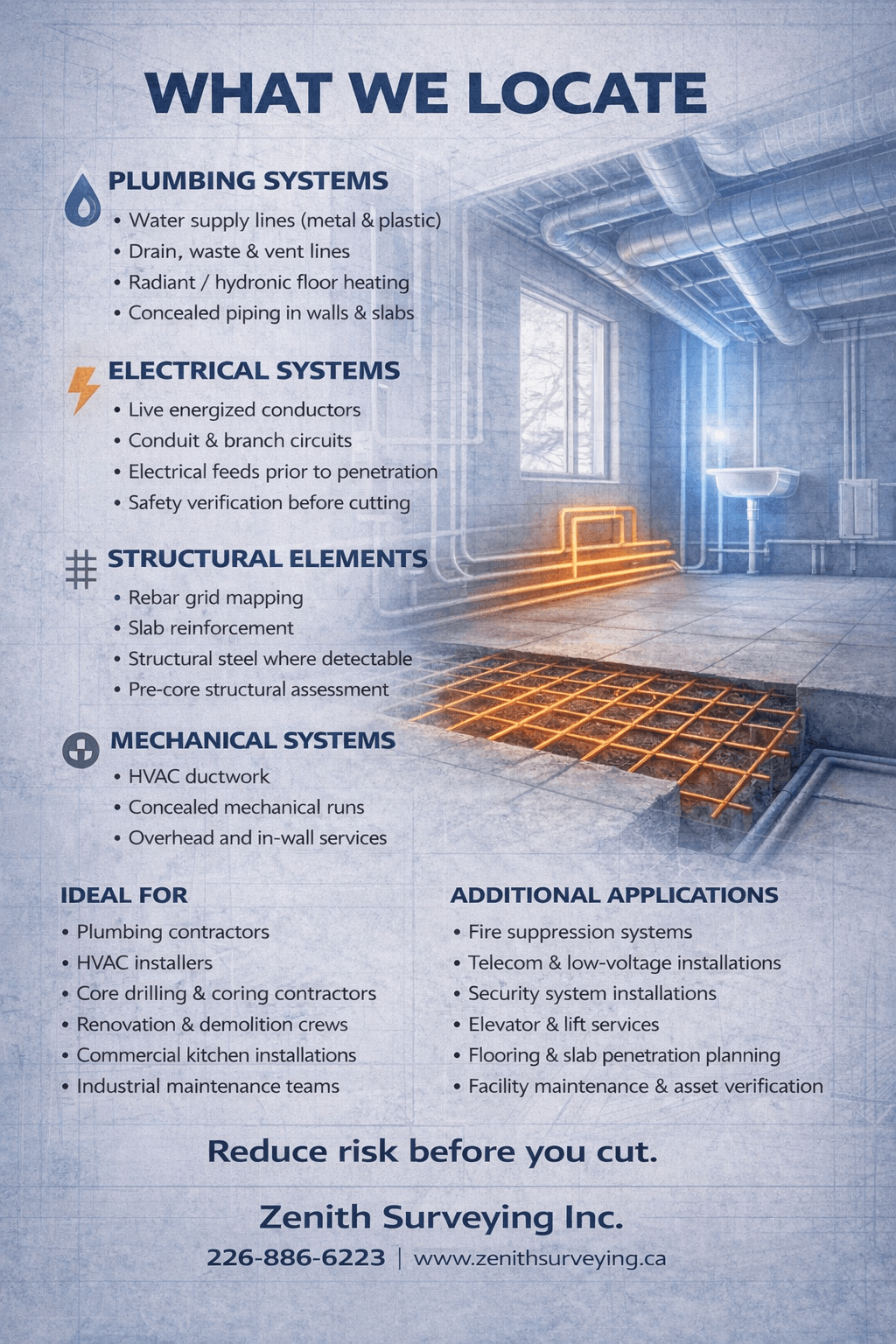
Utility Locating (Private)
Identify underground services before excavation and reduce risk.
- Electromagnetic locating (EM)
- Sonde tracing and depth verification
- Pre-excavation investigations
- Utility mapping support
3D Measurement & Scanning
Capture existing conditions for design, coordination, and verification.
- Site and facility scanning
- Structural and mechanical capture
- Existing conditions documentation
Field Data Delivery
Outputs tailored to your workflow and project requirements.
- Point clouds (registered)
- Field notes and marked-up measurements
- DXF / CAD-compatible data
- As-built reports
- Field investigation summaries
FIELD-FIRST ADVANTAGE
We focus on capturing high-quality data in the field — not fixing problems later. By combining equipment, workflow, and field execution into a single deployment, we reduce:
- Return visits
- Rework
- Coordination between multiple parties
- Uncertainty in field conditions
FIELD SYSTEM
Integrated systems working together in real field conditions:
- Robotic total stations (Leica MS60)
- GNSS positioning systems
- 3D laser scanning
- Electromagnetic utility locating equipment
PROJECT ENVIRONMENTS
- Construction sites
- Industrial and petrochemical facilities
- Pipeline and corridor projects
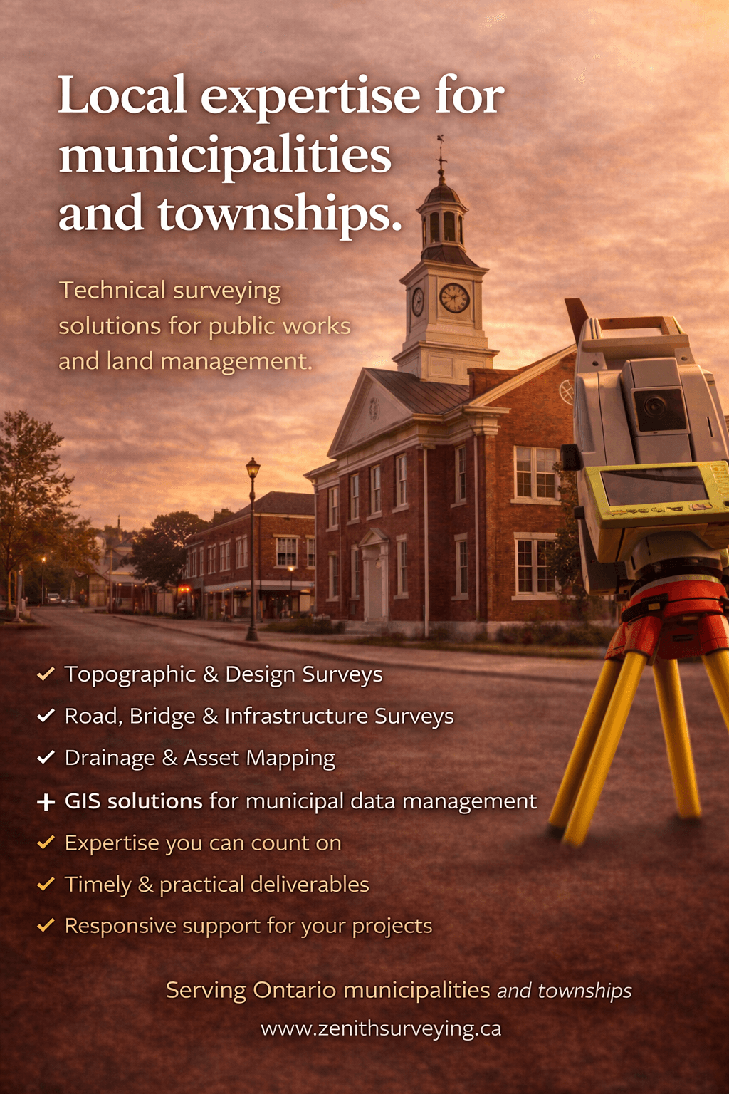
- Municipal and infrastructure systems
SAFETY & SITE READINESS
- Industrial site experience
- Compliant with OHSA and site-specific requirements
- ISNetworld compliant
- Fully insured
CAPABILITY SHEET
Download our full capability sheet for a detailed overview of our equipment and services.
PRECISION IN THE FIELD
WHAT WE DO
READY TO GET STARTED?
Let’s put precision to work on your site.